Geosites
Abanicos aluviales de El Faro de Orchilla
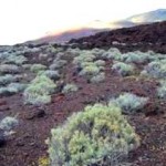
Accumulations of detritic alluvial fans are to be observed on the lava flows on the SW side of the island, in the area of the Orchila lighthouse and the monument to Meridian Zero. These are the remains of former torrential avenues that ran down through...
Cala de Tacorón
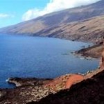
La CALA DE TACORÓN (The Tacoron Cove) affords a privileged view of the Ladera de El Júlan that covers the incline formed by the rifting away of the SW flank of the volcanic edifice of El Golfo-Las Playas some 200,000 years ago that resulted in some 1...
El lajial
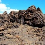
Less than 20,000 years ago, the volcanic edifice of the southernmost rift, consisting in the Montaña de El Júlan - Gorona de El Lajial began to emit lava flows from EL LAJIAL, that now cover the southern side of the island down to the sea. These were h...
Falla de San Andrés
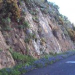
The old road that links the towns of Tiñor and San Andrés takes us round to the eastern flank of the oldest volcanic edifice on the island: the Tiñor face. For 4kms. it is possible to see the plateau of the FALLA DE SAN ANDRÉS (The SAN ANDRÉS FAULT) whic...
Mirador de Isora
The lowlands of Las Playas are surrounded and sheltered by cliffs that tower up to over 1,000 metres high. From the MIRADOR DE ISORA (The Isora viewing Point) we can contemplate the cliff faces where several layers of lava overlap, corresponding to the...
Mirador de la Peña
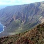
The MIRADOR DE LA PEÑA (La Peña viewing point) stands at around 650 metres up, at the east end of the cliff face at El Golfo and affords us a spectacular view over the rolling valley of El Golfo, produced as the result of a gigantic landslide that cleft o...
Mirador de Lomo Negro
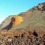
The geological history of the island of El Hierro shows how the volcanic activity has gradually shifted towards the edges of the three rifts. The Lomo Negro volcano is on the extreme edge of the western rift in “extremely young lava beds” since they wer...
Mirador El Julan
EL MIRADOR DE EL JÚLAN look-out point is on the slopes of El Júlan, which is a giant crust formed by an equally gigantic landslide that cleft apart the south flank of the El Golfo-Las Playas edifice some 200,000 years ago. The surface of the landslide h...
Pozo de la Salud
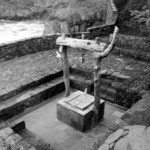
El Pozo de la Salud (The well) is near the village of Sabinosa, on a sea-cliff made of porous lava. This lava lies on top of a substrate rich in clay making it, thus, almost waterproof. Therefore, the rainwater that filters down to the area is caught....
The Nisdafe plateau
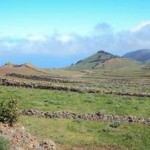
One of the unique characteristics of El Hierro is the Nisdafe Plateau, LA MESETA DE NISDAFE, which is formed on the NE-SW rift some 900 to 1.300 metres above sea-level. This was produced as the result of numerous volcanic cones splattering its surface,...


 Español
 English